(I will update this post as soon as I discover new places)
Actually, I was trying to write an article about the best spots accessible by car from Grenoble. At the end, it was hard to choose because there are so many places and each spots are different. I mean, sometimes you have to walk a bit… or not, sometimes it is a bit far, sometimes… Well, I finally decided to write about my spots, the ones I like the most and where any tourist will take a huge natural breath.
From roads to peaks, with some stop to lakes or beaches, you will basically find any kind of gems on this page. If you are reading this article, thank you, I consider you as a real friend and I really advice you to follow me:
Saint-Honoré 1500m
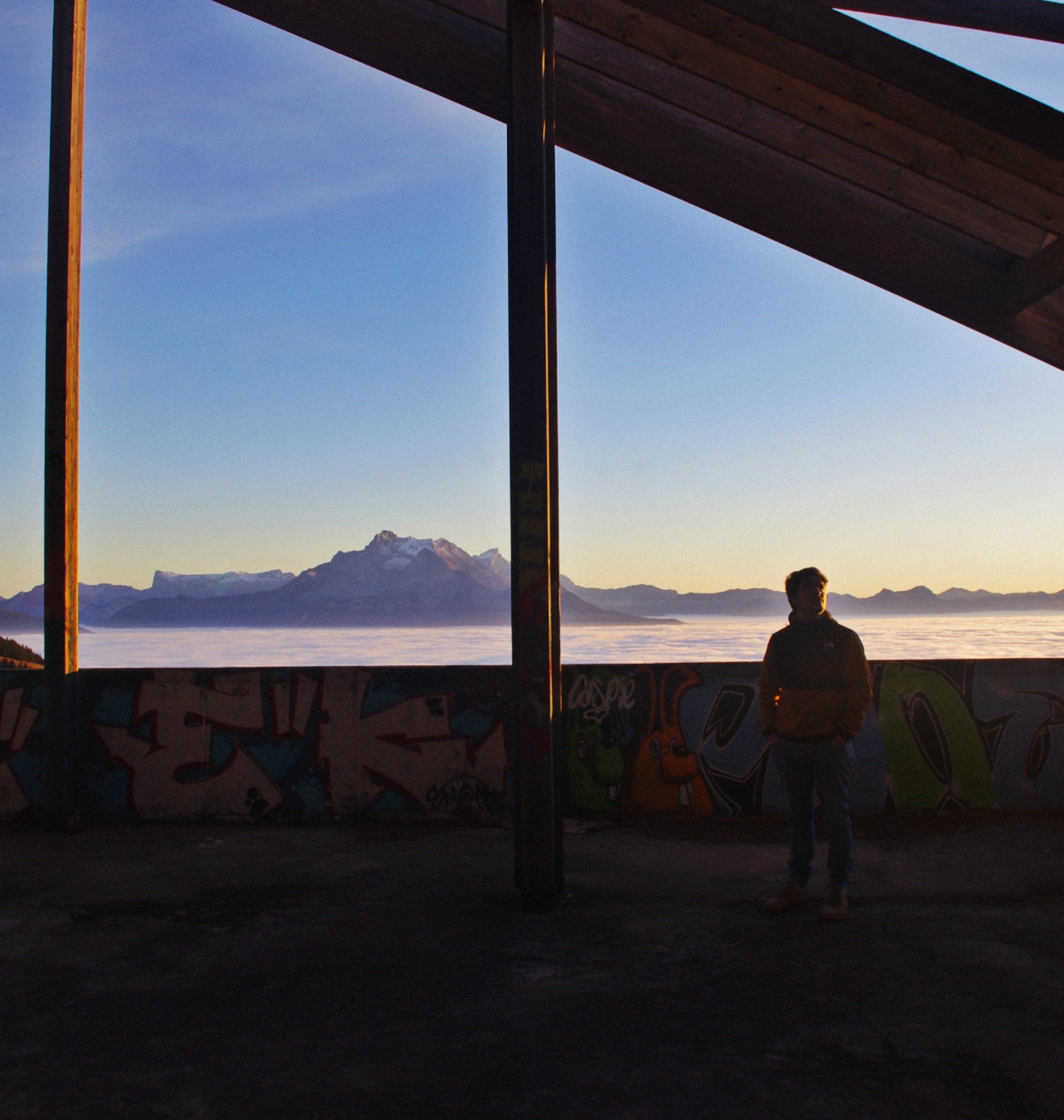
Saint-Honoré was a ski resort project that never came out of the ground. Because of financial issues, most of the buildings have been abandoned. However, the buildings are in good shape and the area became an urbex paradise. Many beautiful graffitis are in the building and it is also an exceptionnal spot for sunset. From the main abandoned building, you will have an impressive view of the Devoluy Massif, especially the Obiou, the highest peak of the Massif. Saint-Honoré 1500m is one of my proudest finding around Grenoble.
- GPS : 44°58’12.4″ N 5°49’18.5″ E
- Driving time from Grenoble : 45 minutes
- Walking time : 0 minute

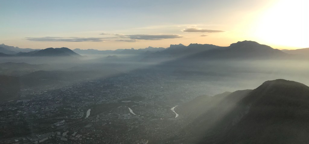
Le Néron
From Grenoble, most of the people who wants to hike go to la Bastille, Mont Rachais or Chamechaude if they have access to a car. Indeed, they are the easiest and the most famous hike close to Grenoble. Another peak which is really close from the city center is called “le Néron”. I would not advice any new hiker to go to this peak as it is really hard and technical. The path on the top is narrow and any mistakes can be dramatical. However, if you have the experience, it will give you one of the best view of Grenoble, I promise you.
- GPS : 45°’14’ 04″ N 5° 42′ 36″ E
- Driving time from Grenoble : 15 minutes to Narbonne
- Walking time : 1 hour and a half
Fort du Saint-Eynard
For any new comers in Grenoble, Fort Saint-Eynard has to be seen and known. It is basically the best, easiest and closest spot of Grenoble to reach in order to watch a beautiful sunset. Well, many people will tell you to see that on the top of la Bastille, that’s true, however, the elevation goes only at 476 meters. To go to Fort Saint-Eynard, the road goes directly to the top of the mountain, at an elevation of 1 325 meters.
- GPS : 45°’14’ 07″ N 5° 45′ 45″ E
- Driving time from Grenoble : 30 minutes
- Walking time : 0 minute

Plateau des Petites-Roches
At the bottom of Dent de Crolles peak, you will see Saint-Hilaire du Touvet village on the Chartreuse Massif. It is one of the most touristic hotspot of paragliding. Indeed, there is each year the Icare Cup, basically a famous international competition for paragliding. The only reason why the competition takes place there is the incredible landscape and view in this area. You can park your car from the village or in some parking, then, you just have to walk through the field in order to contemplate an awesome view on Belledone Massif. There is also a cable car that brings you from the bottom of the cliff to Saint-Hilaire du Touvet (https://www.funiculaire.fr/).
- GPS : 45°’17’ 59.5″ N 05° 52′ 56.9″ E
- Driving time from Grenoble : 35 minutes
- Walking time : 5 minutes
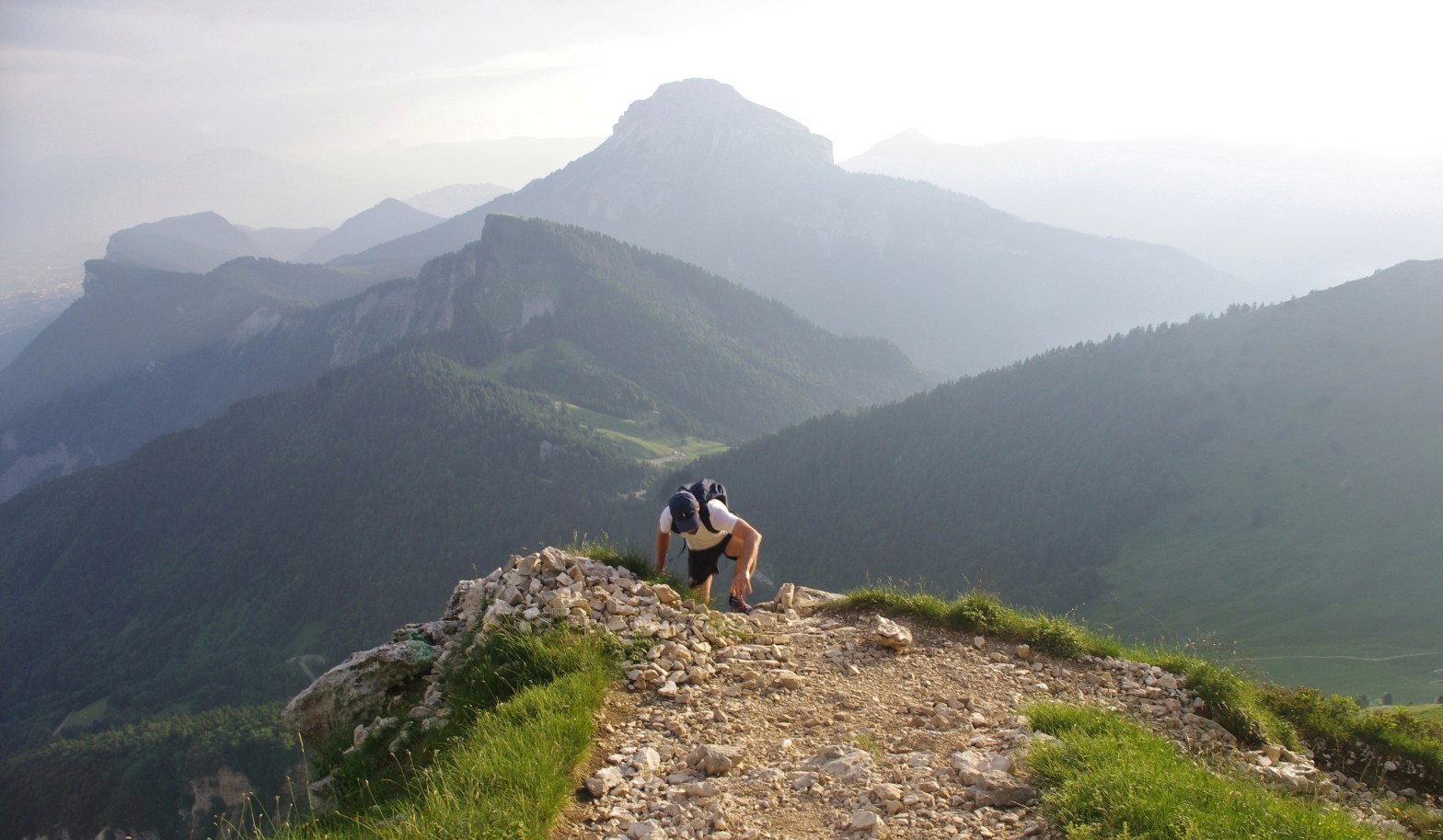
Tour Isabelle – Tour Percée
Discovered in 2006, this piece of nature is actually one of the hardest spot to find in Chartreuse Massif. Its arch is the biggest of the French Alps currently known. If you are not afraid by heights and if you like to climb a bit and hike, you are on the right spot. Try to go there in order to see one of the most amazing spot in the Alps. Many people try to find it without any success. If you want to add this photo on your Instagram or album, please, follow the guide : https://minewhile.com/2020/03/23/tour-percee-tour-isabelles-hike/
- GPS : 45°’22’ 11.9″ N 05° 54′ 14.8″ E
- Driving time from Grenoble : 45 minutes to Col de Marcieu
- Walking time : 2 hours and a half

Gorges du Nan
Gorges du Nan can be compared a bit to Combe Laval. Indeed, the tunnel and the cliffs close to the Gorges can be a bit similar to Combe Laval. The difference here is the road. It means that it is quite hard to cross another car on this road. You have to be confident and agile with your vehicule. You can join the Gorges from many direction, the easiest is from Cognin-les-Gorges if you are on the way to Grenoble or Valence, you will surely love this short detour.
- GPS : 45° 10′ 18″ N 5° 24′ 44″ E
- Driving time from Grenoble : 50 minutes without highway
- Walking time : 0 minute

Col de Romeyère
Starting from Saint-Gervais, at the bottom of the Vercors Massif, take Rencurel direction, a charming village at the heart of the Massif. One more time, you will drive through incredible roads. From forest to lands, you can even admire few impressive waterfalls from the road. It is something rare in the Vercors Massif to see waterfall and water as there is not many compared to other massif. Then, once you reach the pass, you have many possibilities in order to continue your road-trip. Villard de Lans, Choranche, Pont-en Royans, any possibilities are reachable and great.
- GPS : 45°’08’ 37″ N 05° 28′ 47″ E
- Driving time from Grenoble : 1 hour
- Walking time : 0 minute
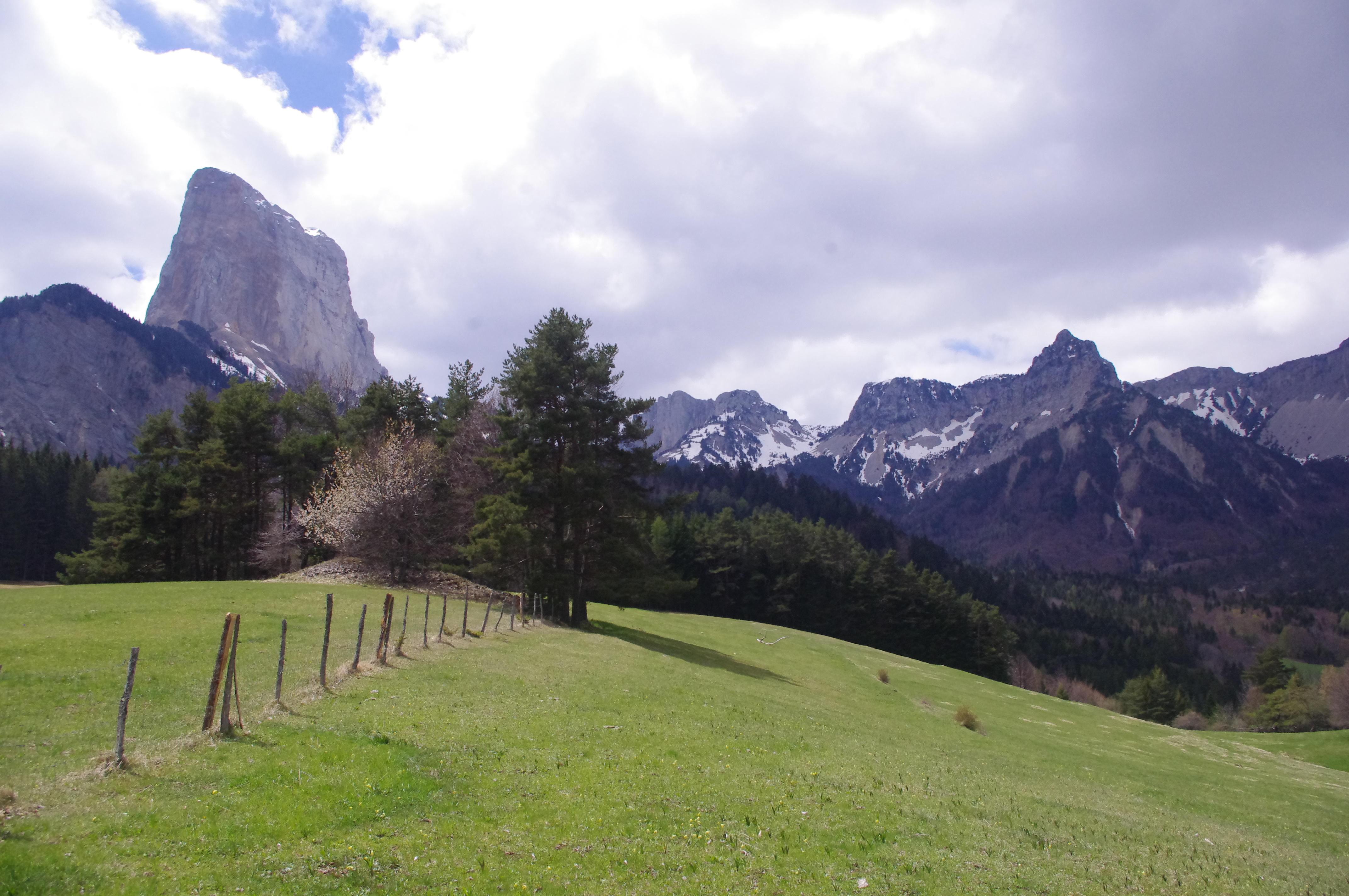
In the area around Mont Aiguille
In the South Vercors, you will start to see different landscapes all different from each other. Around Mont Aiguille, one of the most iconic peak of the Massif, you will be impressed by the landscapes diversity. If you take a bit of height, you will observe the start of the Trieves and Devoluy Massif which are unique landscapes in France, I swear. I think this area deserves really more attention that it already has. For a daily road-trip or for hiking, there are many opportunities there in order to relax, to chill in an incredible area. If you want to be lost, write on your GPS “Trézanne” village, then, you can go back by the Monteynard Lake where you will be impressed by the water color.
- GPS : 44°’50’ 44.1″ N 05° 34′ 47.9″ E
- Driving time from Grenoble : 1 hour
- Walking time : 0 minute
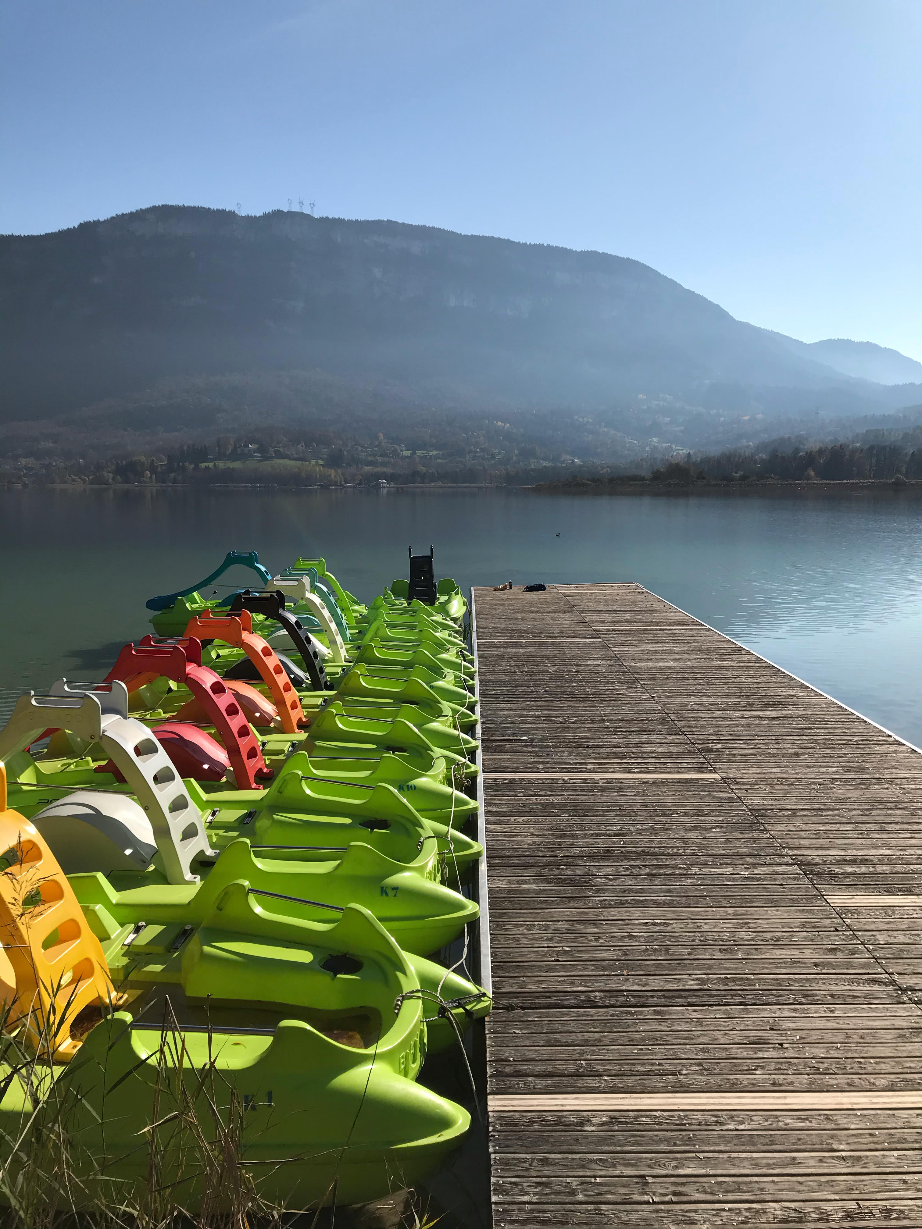
Plage du Souguey
I had the surprise to stop there in November, when the summer madness looks so far, in order to enjoy a chilling pique-nique close to the water. I did not really know Aiguebelette lake as I had been there only once. My first visit was during the summer and it was full of people. Off-season, I really recommend you to go there, azul water, nature and birds close to you, the autumn season is awesome.
- GPS : 45°’33’ 18.45″ N 05° 47′ 26.68″ E
- Driving time from Grenoble : 1 hour without highway
- Walking time : 5 minutes
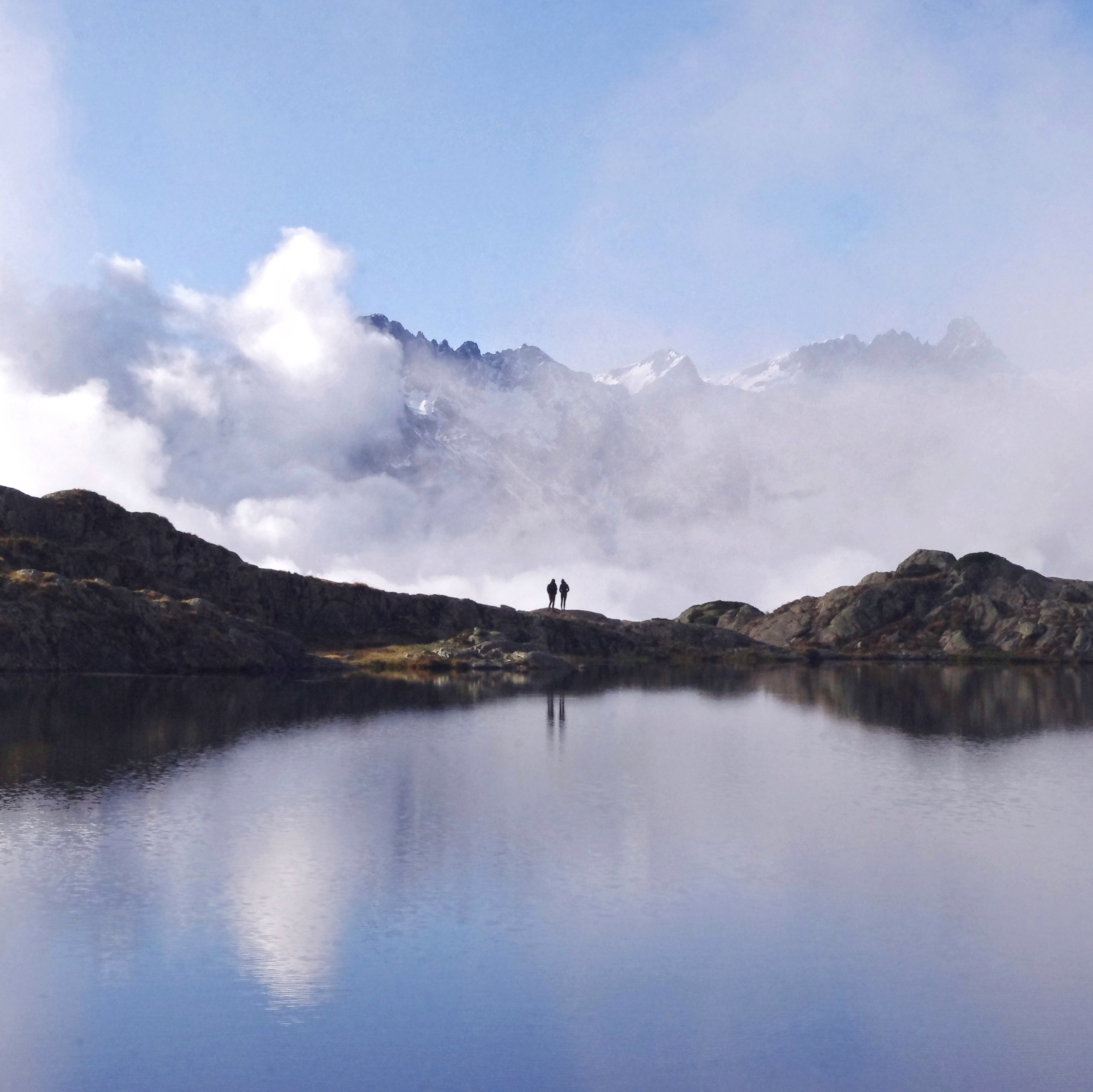
Lacs Besson
Besson lake and the other lakes around are probably the easiest and the latest point I have been through. Breathtaking. If you want to take amazing pictures for your Instagram without any effort, go to the Besson lake, also known as l’Alpe d’Huez lakes. You just have to drive to a dead-end road then walk thirty seconds in order to see the first lake. You will have an incredible view on Belledone Massif. From the view on the lakes, trust me, it looks like Lac Blanc on the Chamonix Mont-Blanc Massif.
- GPS : 45°’07’ 03.6″ N 06° 05′ 14.3″ E
- Driving time from Grenoble : 1 hour
- Walking time : 5 minutes
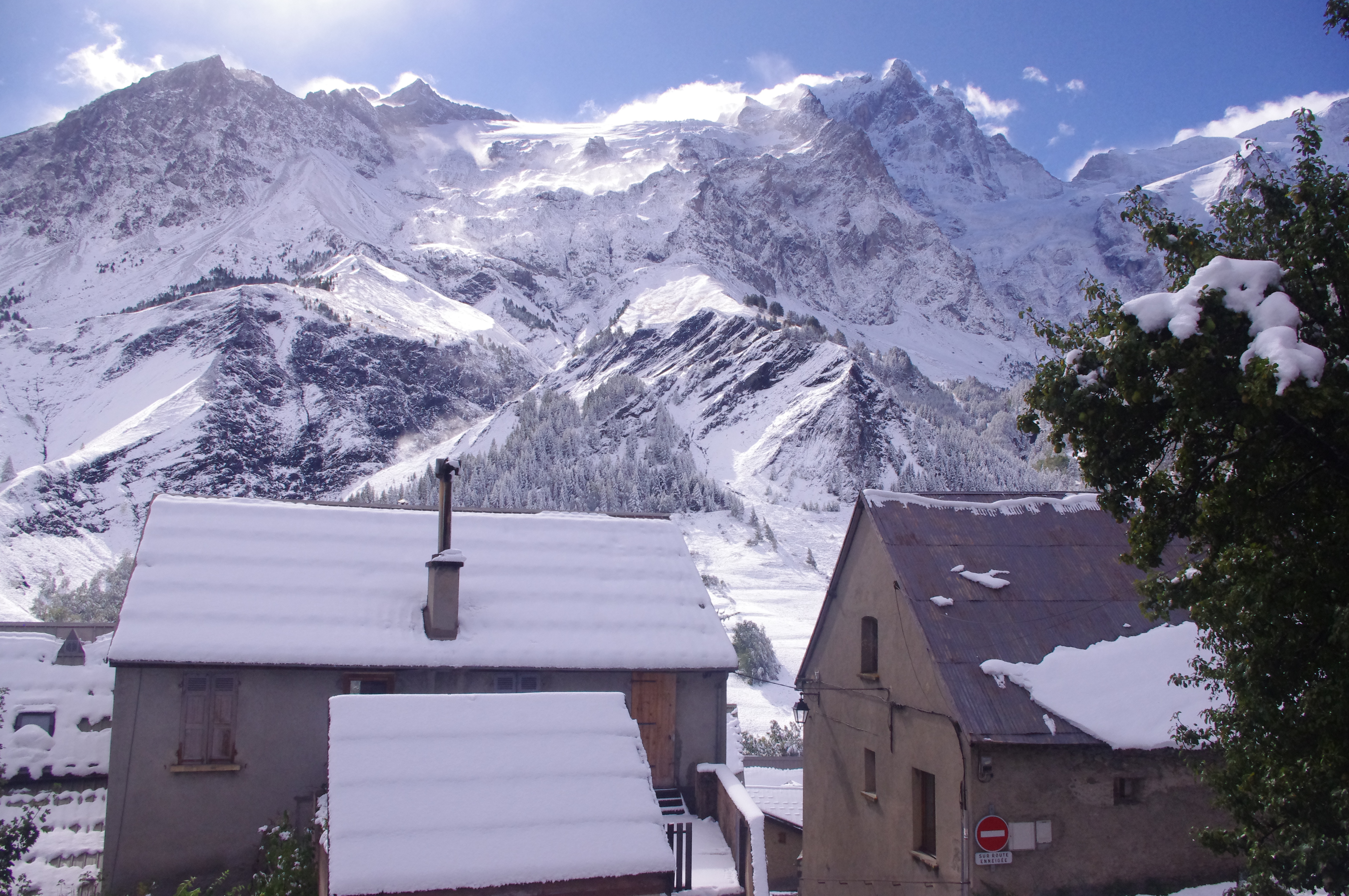
La Grave – La Meije
Do you love hiking? Skiing? Or just the feeling to relax on a terrace? La Grave-la Meije will basically responds to all of your needs. This small village is a mountain tourist hotspot where you can contemplate one of the highest and hardest peak of the French Alps, la Meije. This village is a stop-over for people who wants to reach Briançon. Thus, you can easily spend few hours there in order to do some shopping and spend a lunch or dinner. You can even pay to go to 3 200 meters from a cable car. Here is the website link : https://www.lagrave-lameije.com/fr/ete/accueil-la-grave-la-meije-villar-darene/
- GPS : 45°’02’ 49″ N 06° 18′ 24″ E
- Driving time from Grenoble : 1 hour
- Walking time : 0 minute
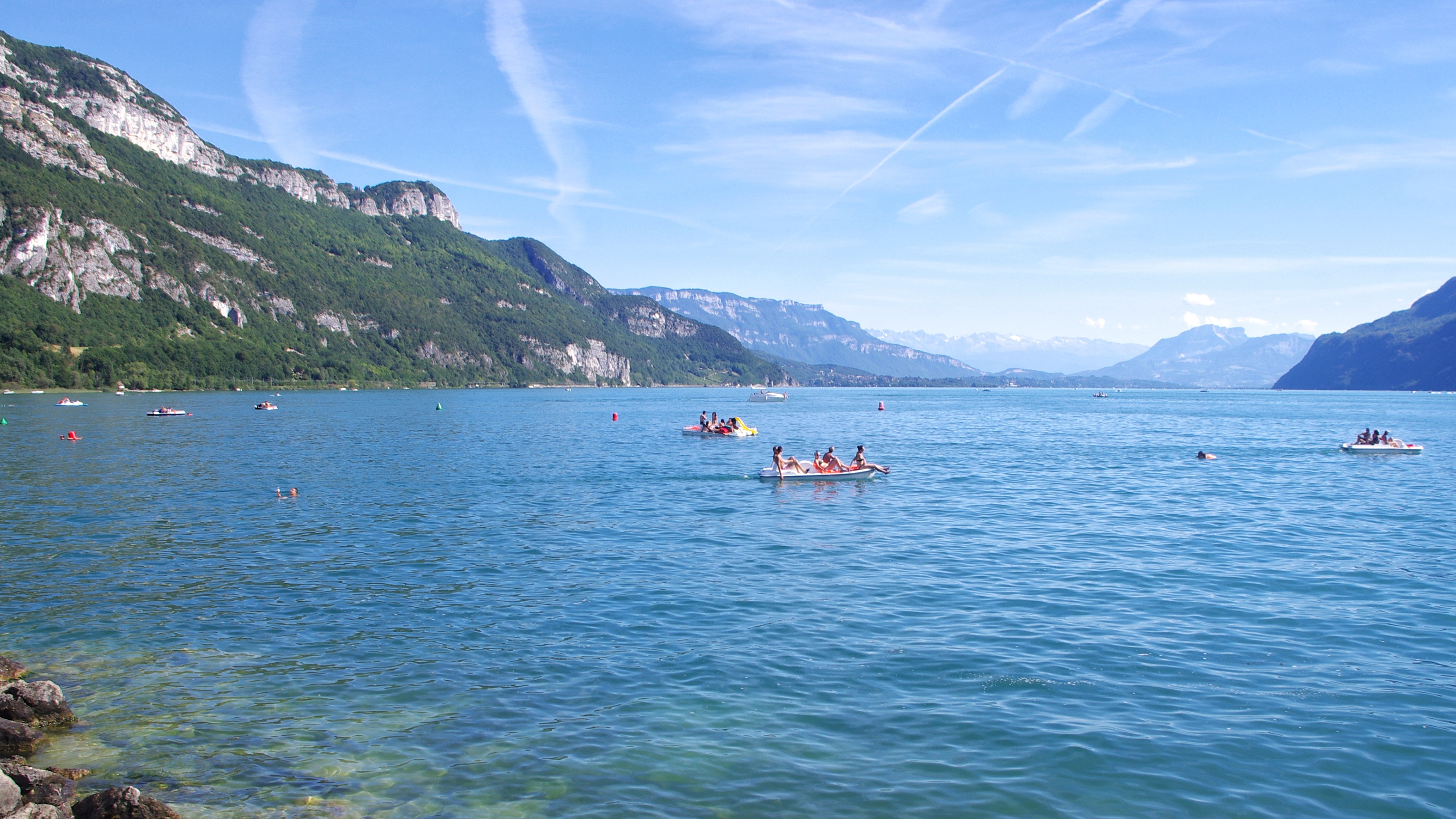
Port de Châtillon
I definitely think that this spot is the best in order to take a bath in Bourget Lake. Indeed, first, you are really at the North of the lake, it means that the most important part of the people stopped before. Then, you will see a charming harbour with a public beach. I advice you to continue your short walk to the end of the harbour, close to the pontoon. You will see a small and really cool beach where you can, if you are lucky, dress your towel here. Otherwise, even if it is written that it is forbidden, you can dress it on the pontoon and enjoy a really cool bath in the biggest natural lake of France. The parking during the summer is charged (3€ if I remember well) and they do not take credit card.
- GPS : 45°’48’ 05.2″ N 05° 50′ 36.1″ E
- Driving time from Grenoble : 1 hour and 30 minutes
- Walking time : 5 minutes
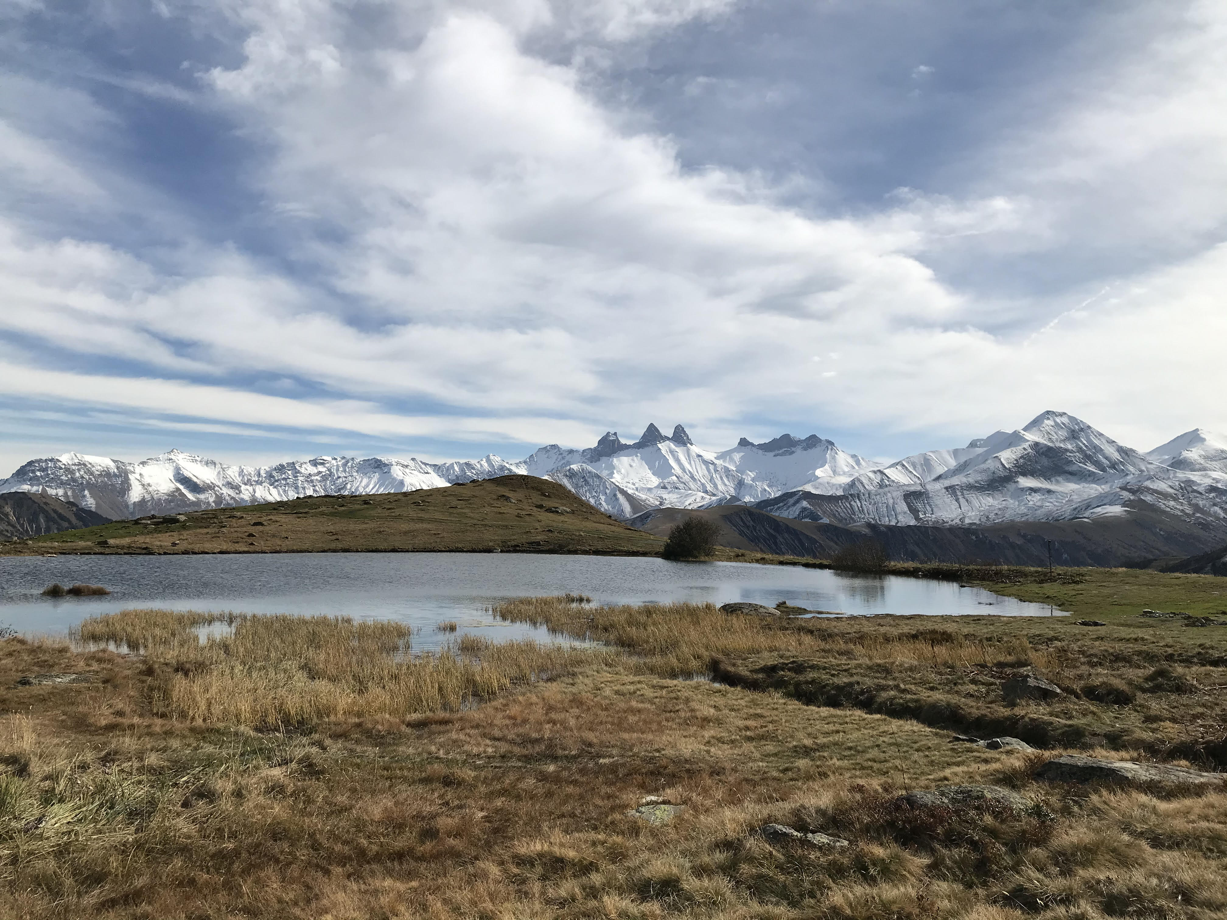
Col de la Croix de Fer
As Grenoble is surrounded by mountains, mountain roads are quite popular and there are many opportunitues in order to go from a side to a mountain to another. Indeed, you are driving through magnificent roads, sometimes there is snow, lakes or just autumn colors that push you to stop in order to capture a photo of this moment. As I am driving a lot, I drove through many pass and I had to choose between one of them. I decided to choose Croix de Fer Pass. It makes the link between Grenoble and Saint-Jean de Maurienne where you can reach few skiing resort as St-Jean d’Arves / Le Corbier. On this road, you are driving through lakes, narrow roads with an incredible view on the Aiguilles d’Arves. At the end, your car will reach an elevation of 2 074 meters.
- GPS : 45°’13’ 39″ N 06° 12′ 11″ E
- Driving time from Grenoble : 1 hour 30 minutes
- Walking time : 0 minute
Honestly, Grenoble region is one of the most beautiful of France. Those spots written in this article are great but there are hundred of great spots here. It would be too long to classify them. Above, you will simply find few of my recommendations to try to see “something else”, to “get off the beaten track”. Still, I assume that some of them are known, I know, still, tourist not.
